Thursday, April 23, 2015

(Re)Discovering the “New World”: Maps & Sea Charts from the Age of Exploration

Featuring more than thirty European-made maps and sea charts inspired by New World exploration and published between 1511 and 1757, an exhibition now on view at the Bruce Museum in Greenwich, CT presents a fascinating study in geographic and human progress, as well as a rare feast for the eyes. The works are drawn from the collection of Jack A. Somer, who observes that “these ancient maps represent Renaissance-period attempts by European ateliers to edify their clientele by revealing our ‘new’ hemisphere and its approaches, as discoveries and claims came ashore from those daring enough to pack their sea bags and head for the unknown.” Works of art as well as documents of unknown worlds, these maps were produced through woodcut or metal-plate engraving, and most are individualized with hand-applied color.

Visit the exhibition's official website.


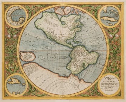
Gerard Mercator  -  America sive India Nova, 1595
Abraham Ortelius  -  Azores, 1584
John Speed  -  America, 1626
Images courtesy of the Bruce Museum

No comments: